
Mapping the Danger: Limpopo Turns Road Incident Data into Action
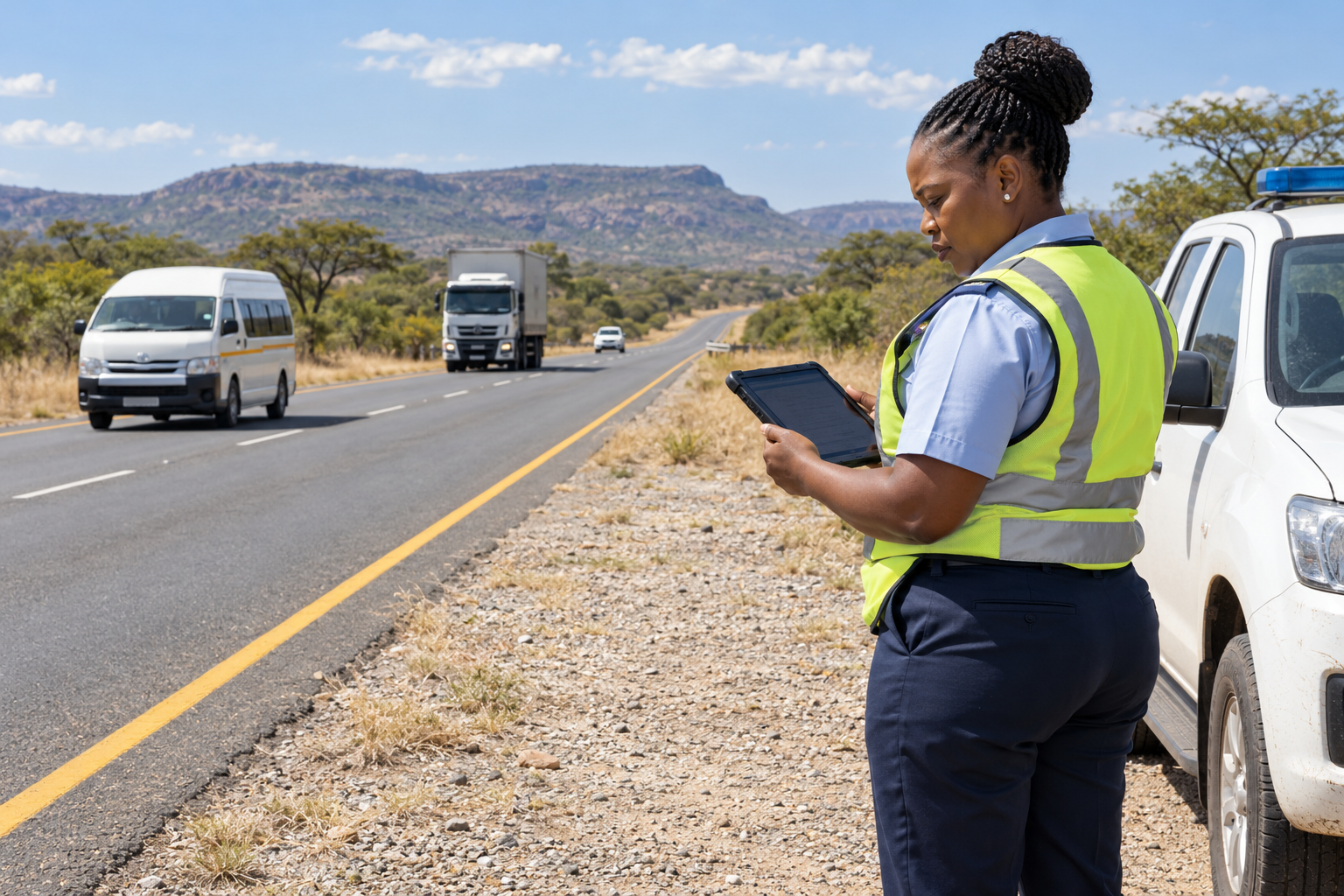
Limpopo’s Department of Transport and Community Safety is using a CSIR-developed dashboard to map road incidents and guide operational planning, according to a report published on 15 September 2026.
MAKING THE PATTERNS VISIBLE
Hosted within the Office of the Premier, the tool brings fragmented records into maps and charts. Officials can filter incidents by route, vehicle type and busy travel periods, while examining emergency-response accessibility.
Provincial inspector Prudence Mashige told the CSIR that her team reviews the dashboard weekly. She linked the identified trends to deployment decisions, including a permanent, round-the-clock N1 patrol brigade.
BETTER INFORMATION STARTS ON THE GROUND
CSIR mapping specialist Johan Maritz identified mobile incident capture as a possible next step. Recording coordinates at the scene could improve information currently transferred from paper or other systems.
That mobile application is a proposed improvement, rather than a confirmed feature of the deployed dashboard.
The CSIR says personal and sensitive information is anonymised before processing. The tool examines patterns rather than identifying individuals or vehicles.
A PRACTICAL EXAMPLE OF DIGITAL PUBLIC SERVICES
The dashboard forms part of a broader field of South African transport research. The CSIR’s mobility and logistics programme also covers road and bridge asset management, freight systems, passenger transport and infrastructure engineering.
Its stated focus includes improving transport access and safety, as well as helping people and goods move efficiently. Digital tools therefore sit alongside physical infrastructure and operational expertise within that work.
WHY THIS MATTERS BEYOND LIMPOPO
Our assessment is that the project illustrates a useful approach to modernisation: start with a decision that needs improving, then organise the information needed to support it.
For a transport department, that decision might concern patrol placement. For a courier or fleet operator, a similar approach could involve examining recurring delays or identifying routes that need closer review. These are examples of the wider principle, not claims that those businesses use Limpopo’s system.
The software is only one part of that process. Records need to be accurate, staff need to understand the maps, and the resulting decisions need to be evaluated.
A concentration of recorded incidents can justify closer investigation. Establishing the causes, choosing an intervention and measuring its effect require further work.
THE REAL TEST IS WHAT CHANGES
The operational use described by officials is encouraging. However, the published report does not establish a measured reduction in crashes or fatalities caused by the dashboard.
For the public, that remains the outcome that matters. The value of a clearer map will ultimately depend on whether it helps authorities make effective decisions on the roads people use every day.
What's your reaction?
About Thabo Mokoena

Thabo Mokoena covers global technology news for Trustoria, bringing a South African perspective to artificial intelligence, cybersecurity, digital innovation and emerging platforms. Based in Pretoria, he makes complex developments accessible through clear, balanced reporting that explores how technology affects everyday life, business and opportunity.
READ FULL BIO →